

Ask three mapping tools how far Santa Fe is from Albuquerque and you get three different answers: 58 miles, 62 miles, 64 miles, sometimes 65. The number that matters for trip planning: the distance from Albuquerque to Santa Fe is 64 miles by road via I-25, and the drive takes about one hour under light traffic. The figure shifts because start point and route change it. Air distance reads 58 miles, the airport reads 65, and the Turquoise Trail scenic detour covers similar ground but eats an extra 20 minutes on slower two-lane roads. This page locks one number per route so you can pick the drive that fits your day.
How Far Santa Fe Is From Albuquerque
The driving distance from Albuquerque to Santa Fe is 64 miles (103 km) via Interstate 25, and the nonstop drive takes roughly one hour to one hour and ten minutes depending on traffic. That is the headline number most planners want, and I-25 North is the route it refers to.
Measuring the other direction, the distance from Santa Fe to Albuquerque is identical at 64 miles by road. Distance does not change based on which city you leave from. Drive time can, slightly, because you hit Albuquerque’s traffic on the way in rather than on the way out.
Santa Fe works as an easy day trip or overnight from Albuquerque because of this short hop. You can leave after breakfast and be walking the Plaza before lunch. The rest of this page explains why your specific number might not read exactly 64, and which route earns your time.
Why the Distance Can Change From 58, 62, 64, or 65 Miles
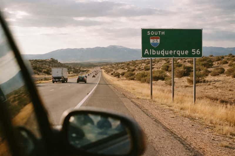
“The distance” is not one fixed figure, and most calculators skip that point. Air distance is 58 miles. NM-599, the western bypass, runs 62 miles. I-25 direct is 64. Airport-to-city measurements read 65. Some tools even report 59.4. None of them are wrong. They are answering different questions.
Air Distance vs Driving Distance
Air distance, the straight line between the two city centers, is 58 miles (93 km). Roads do not fly straight, so driving distance runs about 1.1 times the air distance, which lands you at 64 miles. When a source shows you 58, it is measuring as the crow flies, not as your car drives. Ignore that number for trip planning. Use 64.
City Center vs Airport Origin
Where you start moves the odometer. Downtown Albuquerque to the Santa Fe Plaza is your standard 64 miles. Start at Albuquerque International Sunport, south of downtown, and the road distance climbs to 65 miles because you begin farther from I-25 North. The northern edge of the metro, up near Bernalillo, shaves miles off since you are already partway there. Match the number to your actual starting point and the confusion disappears.
Route Option 1: I-25 North (The Fast One)
I-25 North is the direct route: 64 miles, about one hour, mostly open interstate with a steady climb from roughly 5,300 feet in Albuquerque to over 7,000 feet in Santa Fe. This is the drive Google Maps hands you by default, and for most trips it is the right call. Check live I-25 conditions and any construction alerts through the state’s traveler road conditions before you pull out of the driveway.
Real-World I-25 Drive Time by Time of Day
The one-hour figure assumes light traffic. Reality moves. Albuquerque’s morning commute (7-9 a.m.) and afternoon peak (4-6 p.m.) can push the trip to 75 or 90 minutes, mostly from bottlenecks on the Albuquerque end. Winter snow on the higher stretch near Santa Fe is uncommon but real, and a storm can slow the pass considerably. Leave midmorning or early afternoon and you will hit the clean one-hour version.
Route Option 2: The Turquoise Trail (NM-14 Scenic Route)
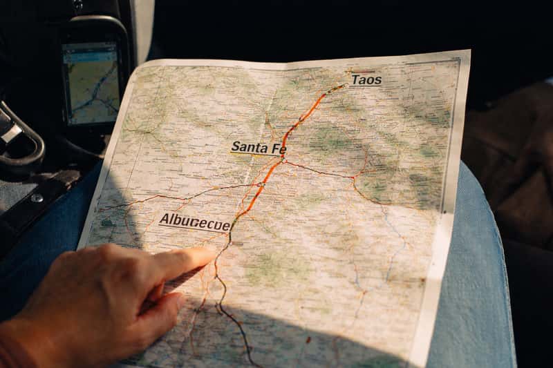
The Turquoise Trail route swaps the interstate for NM-14, running along the east side of the Sandia Mountains through old mining country. Distance runs about 62 miles, slightly shorter than I-25, but drive time stretches to roughly 1 hour 20 minutes. The gap comes from road type: NM-14 is a winding two-lane highway with 45 to 55 mph limits, frequent grade changes, and no passing stretches, versus 75 mph open interstate on I-25. Fewer miles, far slower miles. You are trading 20 minutes for a completely different experience.
When the Turquoise Trail Route Is Worth the Extra Time
Take the Turquoise Trail route when the drive itself is part of the day, not just transit. It threads through Madrid and Cerrillos, former coal and mining towns now stacked with art galleries, cafes, and roadside stops. If you are on a schedule or just need to reach Santa Fe, stay on I-25. If you have an unhurried afternoon and want the trip to earn its own memory, NM-14 is the answer. Slower miles, richer hour.
Landing at the Sunport and The Airport to Santa Fe
Fly into Albuquerque and your distance starts at the Sunport, not downtown. From Albuquerque International Sunport to Santa Fe is about 65 miles and roughly 1 hour 7 minutes by car, since the airport sits south of the I-25 on-ramps you would use. That is the number to plan around if you are landing rather than starting your day in the city.
Rental Car, Shuttle, or Rail From the Airport
You have three ways off the tarmac and up to Santa Fe:
- Rental car: most flexible, about 1 hour 10 minutes, but you carry the cost of the car plus fuel and Santa Fe parking.
- Shared shuttle: door-to-door service runs the corridor in roughly 75 to 90 minutes, priced per seat, worth it if you skip a rental entirely.
- Rail: connect to the Rail Runner and reach Santa Fe in about 90 minutes with no parking to solve on the far end.
If you are coordinating a pickup partway, the halfway point finder helps you set a meeting spot along the route without guessing.
Drive vs Rail Runner vs Bus: Cost and Time Side by Side
Distance is settled. The real decision is how you cover it. Here is the corridor three ways.
| Mode | Journey time | Approx. cost | Best for |
|---|---|---|---|
| Drive (I-25) | 1 hr | Fuel ~$9-11 one way plus parking | Flexibility, groups, side trips |
| Rail Runner train | ~1 hr 30 min | Low single-ticket fare | Car-free travelers, no parking hassle |
| Intercity bus/shuttle | ~1 hr 30 min | Per-seat fare | Solo travelers without a car |
Driving: Cost, Time, and Flexibility
Driving 64 miles one way burns roughly two to three gallons of fuel. At around $3.50 per gallon, that is about $9 to $11 one way, plus whatever Santa Fe charges you to park downtown. Adjust up or down with your local pump price. For two or more people, that math beats individual train or bus fares easily, and you keep the freedom to detour onto the Turquoise Trail or stop wherever you like.
The Albuquerque to Santa Fe Train (Rail Runner)
The Albuquerque to Santa Fe train is the New Mexico Rail Runner Express, a commuter rail line covering the corridor in about 90 minutes. A single ticket costs less than the combined fuel and parking of a rental car, which makes the train the practical pick for a solo traveler or anyone who landed without a car waiting. You give up 30 minutes and gain zero driving and zero parking.
Halfway Point and Worthwhile Stops
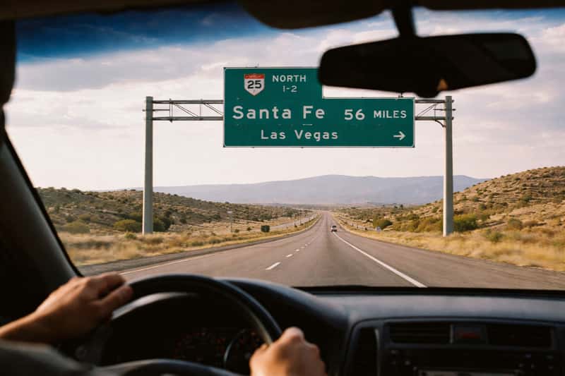
The midpoint between the two cities lands near Cochiti and Santo Domingo Pueblo territory, a natural spot to stretch, swap drivers, or meet someone coming the other way. If you are driving from a specific address rather than city center, the halfway point between two addresses tool pins your exact midpoint for a rest or rendezvous.
Stops Along I-25
I-25 keeps you moving, but a few exits reward a pause. Bernalillo, just north of Albuquerque, has quick food and fuel. The Cochiti area near the halfway mark offers a lake and open desert views if you want ten minutes out of the car. None of these add meaningful time to the one-hour run.
Stops Along the Turquoise Trail
NM-14 is built for stopping. Madrid is the anchor, a former mining town full of galleries, a general store, and lunch spots. Cerrillos, quieter and older, is worth a short detour for its dusty film-set character. Budget these into your 1 hour 20 minutes, or plan a half-day if you want to actually explore.
Extending the Trip: Santa Fe to Taos
If Taos is on your map, Santa Fe to Taos adds roughly another 70 miles and 90 minutes north, so treat Santa Fe as the natural overnight break before pushing on.
Tourist Gems Take
Lock in 64 miles and one hour for I-25, then decide what the day is actually for. If it is transit, the interstate puts you on the Plaza by lunch. If the drive is part of the trip, the Turquoise Trail earns its extra twenty minutes and the mining towns do their work.
FAQs about distance from Albuquerque to Santa Fe
How far is Santa Fe from Albuquerque by car?
Santa Fe is 64 miles from Albuquerque by road via I-25. Under light traffic the drive takes about one hour to one hour and ten minutes.
How long is the Albuquerque to Santa Fe drive time?
The Albuquerque to Santa Fe drive time is roughly one hour on I-25 in light traffic. Rush hour or winter weather can stretch it to 75 or 90 minutes.
What is the driving distance from Albuquerque to Santa Fe in kilometers?
The driving distance from Albuquerque to Santa Fe is about 103 kilometers (64 miles) via the I-25 corridor.
What is the distance from Albuquerque airport to Santa Fe?
The distance from Albuquerque airport (the Sunport) to Santa Fe is about 65 miles and roughly 1 hour 7 minutes by car, slightly longer than the downtown-to-downtown figure.
Why do sources give different distances like 58, 62, or 65 miles?
Because each measures something different. Air distance is 58 miles, NM-599 runs 62, I-25 is 64, and airport-to-city reads 65. Your route and start point decide the number.
What is the air distance between Albuquerque nm to Santa Fe nm?
The straight-line air distance between Albuquerque, NM and Santa Fe, NM is about 58 miles (93 km), roughly six miles shorter than the road distance.
Is the Turquoise Trail route worth taking over I-25?
The Turquoise Trail route is about 62 miles but takes 1 hour 20 minutes because it is a winding two-lane highway with lower speed limits. It is worth the extra time if you want scenery and stops in Madrid and Cerrillos; otherwise take I-25.
How long does the Albuquerque to Santa Fe train take?
The Albuquerque to Santa Fe train, the Rail Runner Express, covers the corridor in about 90 minutes with no driving or parking required.
What is the halfway point between Albuquerque and Santa Fe?
The halfway point sits near Cochiti, roughly 32 miles from each city. It works as a rest stop or a pickup coordination point on either route.
How far is the distance from Albuquerque to Santa Fe to Taos?
Santa Fe to Taos adds about 70 miles and 90 minutes north, so the full Albuquerque-Santa Fe-Taos run totals around 134 miles.